West Olaf Lake
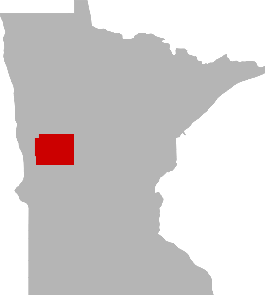
Otter Tail County, Minnesota

Today's Fishing Forecast
Fishing looks to be fairly active with peak fishing times around 5-6 PM. SEE MORE
Share your catch!
We want to see what you've caught on West Olaf Lake.Frequently Asked Questions About West Olaf Lake, MN
- How big is West Olaf Lake?
- How deep is West Olaf Lake?
- What kind of fish can you catch in West Olaf Lake?
- What are the closest cities to West Olaf Lake?
- Are there places to stay in the West Olaf Lake area?
- Are there places to eat and drink near West Olaf Lake?
- What is the average air temp for West Olaf Lake?
- Are there any state parks near West Olaf Lake?
How big is West Olaf Lake?
How deep is West Olaf Lake?
What kind of fish can you catch in West Olaf Lake?
Other fish species in the lake include Green Sunfish, Hybrid Sunfish and White Sucker.
What are the closest cities to West Olaf Lake?
Are there places to stay in the West Olaf Lake area?
More Lodging Options
Are there places to eat and drink near West Olaf Lake?
History & Status of the Fishery
West Olaf Lake is a 143-acre mesotrophic (moderately fertile) lake located in west central Otter Tail County, approximately 6 miles west of the city Pelican Rapids. There are no inlets or outlets located on West Olaf. Water levels are approximately 6 to 8 feet above normal levels, thus making the state owned (DNR) access unusable. The DNR owned access is located on the northeast shoreline, located just off Co. Rd. 30. Access is currently gained off of Co. Rd. 30, however parking is limited and not allowed along the waters edge of Co. Rd. 30. West Olaf Lake is part of the Buffalo River watershed and is composed primarily of agricultural land and interspersed with hardwood lots. West Olaf Lake has a maximum depth of 61 feet; 51% of the surface acreage is less than 15 feet deep. The secchi disk reading, a measurement of water clarity, was 8.5 feet. Past secchi disk readings have ranged from 11.0 to 15.5 feet. West Olaf Lake is included in lake class 25 of the MNDNR lake classification scheme. Other lakes in the Fergus Falls management area that are in lake class 25 include: Bass (Elbow), Beers, Franklin, Jolly Ann, Leek, South Lida, Long, Red River, Schwartz, Sewell, West Silent, East Spirit, Stuart, Swan, and Sybil.
The majority of the shoreline is undeveloped. Shoreline substrates consist primarily of sand scattered with gravel and rubble with some muck mixed in. The abundance of emergent aquatic plants has been negatively effected by the recent years of high water. However bulrush and cattail are present in areas throughout the basin. These emergent plants provide valuable fish and wildlife habitat, and are critical for maintaining good water quality. They protect shorelines and lake bottoms, and can actually absorb and break down polluting chemicals. Emergent plants provide spawning areas for fish such as northern pike, largemouth bass, and panfish. They also serve as important nursery areas for all species of fish. Because of their ecological value, emergent plants may not be removed without a DNR permit.
Northern pike abundance is low, but the size structure appears to be good as 54% of the northern pike sampled by gill nets were 24-inches or greater. Age data from recent surveys indicate that pike recruitment is low but it is consistent. The average length and weight of northern pike sampled by gill nets was 25.1 inches and 3.6 pounds. Northern pike attain a mean length of 19.3 inches at age-III.
Bluegill abundance is considered to be within the normal range for lakes of this type, however the size structure is poor. Only 4% of the bluegills sampled by trap nets were 7.0 inches or greater in length. Recruitment appears to be consistent as there were seven consecutive year classes sampled. Bluegill attain a mean length of 5.7 inches at age-V.
A spring electrofishing assessment was conducted to analyze the largemouth bass population. Largemouth sampled during the electrofishing assessment ranged in length from 4.4 to 18.4 inches with an average length and weight of 12.5 inches and 1.4 pounds. Age and growth data indicate that West Olaf Lake's bass population is balanced and has low to moderate levels of recruitment, mortality, and growth. Bass attain a mean length of 11.6 inches at age-IV.
A spring electrofishing assessment was conducted to analyze the black crappie population. Black crappie sampled during the electrofishing assessment ranged in length from 4.5 to 9.8 inches with a mean length of 7.2 inches. Although six consecutive year classes were sampled the 2005-year class comprised 52% of the sample and the 2002-year class comprised 19% of the sample. Black crappie attain a mean length of 7.6 inches at age-IV.
Anglers can maintain the quality of angling by practicing selective harvest. Selective harvest encourages the release of medium to large-size fish while allowing the harvest of more abundant smaller fish for table fare. Releasing the medium to large fish will ensure that the lake will have enough spawning age fish on an annual basis and will provide anglers with more opportunities to catch large fish in the future.
What is the average air temp for West Olaf Lake?
Are there any state parks near West Olaf Lake?
For more Minnesota State Park information see our State Park Guide.
More Nearby Lakes To Explore
There's more lake's to explore around West Olaf Lake...| DISTANCE | ACRES | MAX DEPTH | |
| Gaards Lake | 0.9 mi | 54 | |
| Unnamed Lake | 1.0 mi | 32 | |
| Unnamed Lake | 1.2 mi | 30 | |
| Lake Alfred | 1.2 mi | 40 | |
| Unnamed Lake | 1.2 mi | 25 | |
| East Olaf Lake | 1.4 mi | 235 | |
| Unnamed Lake | 1.5 mi | 12 | |
| Deadman Lake | 1.9 mi | 25 | |
| Lake Jacobs | 2.1 mi | 157 | 17 ft |
| Unnamed Lake | 2.2 mi | 22 |

