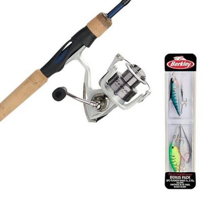
Dad bought a nice place on an out of the way lake in Wisconsin. It is not one of the top 50 lakes, or one that everyone has heard of. We bought a nice boat to do some fishing and cruising around, shopped for nice equipment....
Due to the "supply chain" BS we have all heard about, I could not find a ton of equipment. I was looking at Hummingbird locators with Minnkota trolling motor, but they would not be delivered for months. I got a pretty good deal on Garmin troller, and 2 UHD 93sv units. I figure to use them a year and upgrade to Pan Optics next year when my wallet recovers.
We took all the equipment to the Boat dealer, have them installed, and pick up the boat. I decided to learn how to use the navigation software before our first trip, and.... Our lake is mostly blank. There was a bit of contours in the middle of the lake and the rest of the 173 acre late is blank. I have a map from the DNR webpage and another from those books you can buy with the spiral bound books, and it had a ton of detail to compare against. The info on the Garmin is not even close to correct.
I called Garmin 4 times so far, and was talked through updating software, and told the maps are up to date. They are going to get back to me if there is a better map out there for purchase. I grumbled at the thought of giving them even more money... The rep said they cannot go and map a single lake for one person, that would cost thousands of dollars, I replied... "Oh, just like the thousands I just gave you?"
Solution - I am supposed to drive back and forth so the unit can scan and save data as I traverse the lake. Then I can upload the information for other boaters to have. Apparantly no other boaters in my area have the newer equipment, or have uploaded their graphs and waypoints.
I was forwarded to the Cartographer department, and sent the images I posted here, and more info on the lake.
My dad was so upset, he said he did not want to go out there blind on our first trip. We have a paper map that is "not for navigation" to stay away from some shallows. He is not comfortable with the equipment, it is basically a fancy depth finder and nothing more.
This is a safety issue. I spent a good deal of money for equipment to warn me of shallow spots, and hazards. I cannot return the gear, the dealer threw away all the packaging, all I have are the empty boxes and manuals for the locators, nothing for the trolling motor.
Any advice would be nice, I cannot be the only unhappy camper out there. Thanks for the chance to vent, this has ruined my entire experience of getting my first NEW boat with high end gear, the dream has turned into a nightmare.
Fishing Equipment
My home lake is mostly blank on my new Garmin ECHOMAP UHD 93sv - their support team was not helpful


You have the best electronics on the market... The lake looks to lack any depth and or structure..I would be more worried about destroying my lower unit on that lake.... I run a 93sv UHD and a panotix on the castle rock and Petenwell flowage and they are awesome units.. You could have spent 1000.00 on a lowrance products and get only one season out of it.. picture of structure


Man. Sorry to read about your situation. It stinks when you buy high end equipment and find out that your lake really doesn't need it.
But this isn't a garmin thing. Your unit is excellent. Take the time to map out the lake, you will have fun driving around and getting a "real" map of your lake that you actually took the time to map out. You may be surprised by what you find.
And yah, I remember when a fancy depth finder was the Lowrance Green Box! Back in the day, you viewed a paper map when you fished a new lake. Ran to the drop off and just started fishing around the lake looking for weeds, points and rocks.
GPS was finding a good spot and writing down what you were in front of and then triangulating to pin point the spot.

I see that it is. I lived there for years and my grandson lives only 1 block from the dam. Your GARMIN is ok! The lake was poisoned out and refilled last year. I saw it when it was dry and it’s basically a flat bottom with the pigeon river cutting a channel through it but only about 5’ wide and a foot deep. Last week? My great granddaughter caught a couple of dink gills off shore. The “ pond “ is very shallow so what fish are there would shy away from your boat . Your unit is correct in showing a flat bottom but should show the small river bed. If you see something that looks like boulders they’re old 50 gal drums. Sorry. CARPIO Edit really nice houses on the lake. Locals call it PIGEON POND.

Every fish finder has a shallow water alarm so there really isn’t a safety issue.
As far as the mapping, myself and many others have caught fish using paper maps. I don’t think it’s going to change the game if you have to use one.
It boggles me how people are so lost without the latest in electronics. Paper maps and a flasher unit have put a lot of fish in the boat.

I have been dealing with Garmin Support for many years. I have not had a problem with them. You can make your own map of the lake with the locator you have. I don't think your lake is on Minn Kota software. You don't expect them to map every lake in the State of Wi. Take time to map your own lake, I know you spent thousands of dollars on your units. The money you spent is for the best locators on the market, not for the map of your lake.