If you have 2 slots, you can use auto-chart yourself. I haven't used it on mine yet but below Dubay is one of the areas I would try it. I have to get the card for it though.
Fishing Equipment
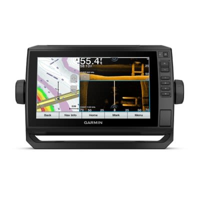
Helix 8
Displaying 1 to 5 of 5 posts
The river below Dubay dam wasn't on my Garmin 93sv either. I had to make the trek up the river and guessed wrong, didn't ruin anything as I went slow. Since I was recording to make my own contour map, now it's stored in the unit. I also uploaded it to the Garmin community so it's available to anyone, that's one feature that is awesome about the Garmin.
Was out for the second time with my my new Helix 8 this weekend. I have the lakemaster chip as well. On the river below Lake Dubay and had absolutely no river detail mapping. No contour lines no depths! Just the river channnel its self it did mark my trail but that was it. No base map either! Scrolled up to Lake Dubay and had all info that it should. Called Hummingbird they ran thru setting with me everything was correct. They said the area must not be charted. I find that very hard to be true. I was on the WI river south of Nekoosa when I first bought the unit and no problems there. Any insight or direction would be greatly appreciated. Also when i reached any speed I would lose the depth reading as well not good at all!!
Displaying 1 to 5 of 5 posts