moon phase
Sun times displayed in .
Today's Best Fishing Times
Get the best fishing times for Sturgeon Falls Flowage with Lake-Link's Fishing Forecast. SEE MORE
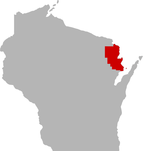
Sturgeon Falls Flowage is a 255 acre lake located in Marinette County. It has a maximum depth of 23 feet. Fish include Panfish, Largemouth Bass, Smallmouth Bass, Northern Pike and Walleye.
Explore Iron Mountain
Iron Mountain offers comfortable lodging hotels, motels, and resorts in Michigan?s Upper Peninsula. Whether you enjoy golf, skiing, fishing, snowmobile, ATV, hiking, canoeing, whitewater rafting, rock climbing, biking or unique and fascinating history attractions ? Iron Mountain, Kingsford and Norway have you covered!
For more information on things to do and see check out ironmountain.org
Share your catch!
We want to see what you've caught on Sturgeon Falls Flowage.
CLOSE TO THE LAKE!
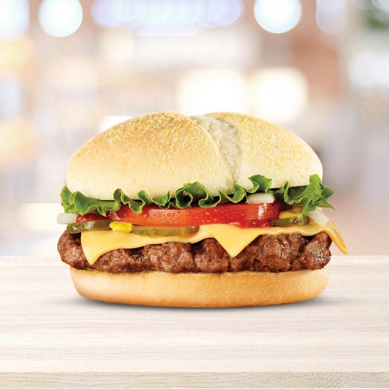
$2.99 Hot Spot Sandwiches & Quarter Pound Cheeseburgers
MORE FRESH DEALS
Frequently Asked Questions About Sturgeon Falls Flowage, WI
- How big is Sturgeon Falls Flowage?
- How deep is Sturgeon Falls Flowage?
- What kind of fish can you catch in Sturgeon Falls Flowage?
- What are the closest cities to Sturgeon Falls Flowage?
- Are there places to stay in the Sturgeon Falls Flowage area?
- Are there topographical lake maps available Sturgeon Falls Flowage?
- Are there places to eat and drink near Sturgeon Falls Flowage?
- What are the fishing regulations for Sturgeon Falls Flowage?
- What is the bottom compostion of Sturgeon Falls Flowage?
- What is the average air temp for Sturgeon Falls Flowage?
How big is Sturgeon Falls Flowage?
Sturgeon Falls Flowage is approximately 255 sq acres (1.0 sq km) in size.
How deep is Sturgeon Falls Flowage?
Sturgeon Falls Flowage is approximately 23 feet (7.0 m) at its deepest point.
What kind of fish can you catch in Sturgeon Falls Flowage?
Although thery may be others but anglers can expect to find a variety of fish including Largemouth Bass, Northern Pike, Panfish, Smallmouth Bass and Walleye in Sturgeon Falls Flowage.
What are the closest cities to Sturgeon Falls Flowage?
Are there places to stay in the Sturgeon Falls Flowage area?
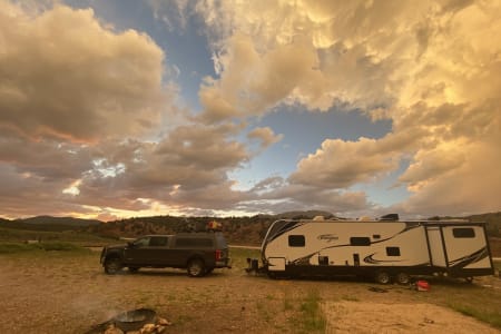
Are you craving a weekend escape from the hustle and bustle of city life? Or maybe you're an avid angler in search of the perfect fishing spot? Look no further! Sturgeon Falls Flowage and its surrounding area offer an abundance of options to suit your needs. If you're in need of accommodation, check out our area map which highlights some of the best places to stay. And if you're looking for even more options, head on over to our Travel section. But why settle for a traditional hotel or resort when you can take your adventure to the next level by renting a RV? The open road awaits you!
More Lodging Options
More Lodging Options
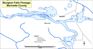
Are there topographical lake maps available Sturgeon Falls Flowage?
We have an topograpical map for online viewing near the top of this page. Lake-Link Pro users can download an print a topograpical map of Sturgeon Falls Flowage (.pdf format) along with 2,700 more lake maps. For more information on all the benefits of Lake-Link Pro click here.
Sturgeon Falls Flowage area businesses:
Please check out these local businesses in the Sturgeon Falls Flowage area:

Are there places to eat and drink near Sturgeon Falls Flowage?
Yes, you can find numerous options in the area. Click the button below to see what's nearby.
What are the fishing regulations for Sturgeon Falls Flowage?
 There are specific fishing regulations Sturgeon Falls Flowage that you need to know. For complete fishing regulations visit the Wisconsin Department of Natural Resources. To report a violation call (800) 847-9367 or cell #367. Need a Wisconsin fishing license?
What is the bottom composition of Sturgeon Falls Flowage?
Sturgeon Falls Flowage's bottom composition is comprised of sand (70%) and rock (30%).Explore the Sturgeon Falls Flowage area in a RV
Are you looking for an adventurous vacation option that won't break the bank? Look no further than renting an RV! Contrary to popular belief, the process is much simpler than you might imagine. With just a few easy steps, you'll soon be experiencing the ultimate freedom and convenience of exploring the open road in your very own recreational vehicle. And the best part? RV travel can save you up to 60% compared to other types of vacations! With the money you'll save, you'll be able to travel even more and create unforgettable memories along the way. So why wait? Start planning your next adventure today with an RV rental. Learn more about renting a RV.

What is the average air temp for Sturgeon Falls Flowage?
Looking forward to your next adventure at Sturgeon Falls Flowage? Don't forget to plan ahead! Weather can be unpredictable, but we've got you covered. On average, air temperatures during this time of year range from a high around 48°F (9°C) to a low around 30°F (-1°C). Of course, these are just historical averages, so be prepared for anything Mother Nature throws your way. For the most up-to-date weather information, be sure to check out our Weather Bar located at the top of this page.
More Nearby Lakes To Explore
There's more lake's to explore around Sturgeon Falls Flowage...| DISTANCE | ACRES | MAX DEPTH | |
| Lake Shannon | 2.3 mi | 58 | 37 ft |
| Mary Lake | 2.3 mi | 86 | 83 ft |
| Hanbury Lake | 2.8 mi | 89 | 38 ft |
| Hamilton Lake | 3.9 mi | 75 | 30 ft |
| Echo Lake | 4.4 mi | 25 | 15 ft |
| Twin Lake | 4.5 mi | 24 | 30 ft |
| Timms Lake | 5.2 mi | 30 | 37 ft |
| Long Lake | 6.0 mi | 16 | 35 ft |
| Smith Lake | 7.2 mi | 20 | 11 ft |
| Little Quinnesec Falls Flowage | 7.9 mi | 323 | 40 ft |
DISCLAIMER: Lake-Link Inc assumes no responsibility or liability for any errors or omissions of the information for Sturgeon Falls Flowage. Although we strive to provide the most accurate information as we can the information contained in this page is provided on an "as is" basis with no guarantees of completeness, accuracy, usefulness or timeliness.