General Fishing Discussion
Navionics HotMaps Premium vs Navionics Mobile App
3/13/15 @ 3:47 PM
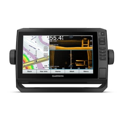
I have both, and the mobile app shows 1' contours and when I was viewing the same lake with the Hotmaps premium chip in my Humminbird Helix the chart only showed 5' contours. What's up with that???
Funny how before I was happy with a paper map but now since I paid for the technology I want more!
Anybody have any experience with the Hotmaps Premium?
Thanks.
BTW I was viewing Big Sand Lake in Vilas County.
Displaying 1 to 15 of 15 posts
Displaying 1 to 15 of 15 posts


